MacDonell, John. Description of Lake Athabasca and the Chipweans, ca. 1805 and Journal of a Voyage from Lachine to Fort River Qu'Appelle, 1793. An electronic transcription. MFTP #0005
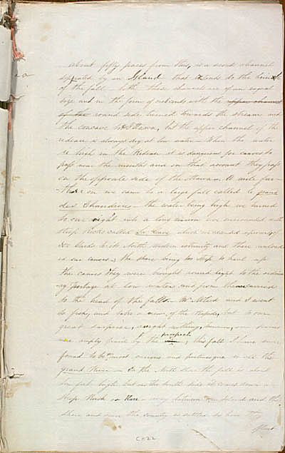
about fifty paces from this is a second channel seperated by an Island that etends to the brinck of the fall – both these channels are of an eaqual size and in the form of crescents with the round side turned towards the stream and the concave to Ottawa but the upper channel of the rideau is always dry at low water[.] When the water is high in the Rideau it is dangerous for canoes to pass near the mouths and on that account they pass on the opposite side of the ottawa[.] A mile farthur on we came to a large fall called le grand des Chaudieres – the water being high we turned to our right into a long narrow cove surrounded with steep Rocks called La Cave which we ascended upwards of 300 Yards to its North Western extremity and there unloaded our canoes; the shore being too steep to haul up the canoes they were brought round light to the ordinary portage at low water and from there carried to the head of the falls. Mr McLeod and I went to fish and take a view of the Rapid but to our great surprise caught nothing however our pains were amply paid by the view; this fall I have since found to be most curious and picturesque in all the grand River[.] On the North shore the fall is about ten feet high but on the South side it comes down a steep Rush or – way between an Island and the Shore and since the country is settled tis here they
float
[53]
L E G E N D :
in red , modifications made by the editor(s).
in lavender , modifications made by the assumed author(s).