| The county atlases used in this pilot project are the following: | |||
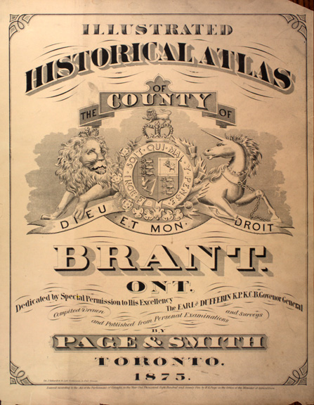 |
Brant County (Ontario Map Ref #11) Illustrated historical atlas of the county of Brant, Ont. Toronto : Page & Smith, 1875. McGill University, Rare Books Division, elf G1148 B6P3 1875 |
|---|---|
 |
Bruce County (Ontario Map Ref #16) Bruce supplement in Illustrated atlas of the Dominion of Canada. Toronto : H. Belden & Co., 1880. McGill University, Rare Books Division, elf G1148 B7 H3 1880 |
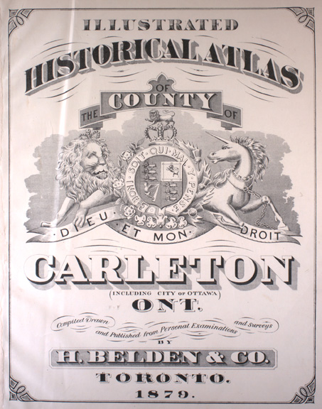 |
Carleton County (Ontario Map Ref #39) Illustrated historical atlas of the county of Carleton (including city of Ottawa), Ont. Toronto : H. Belden & Co., 1879. McGill University, Rare Books Division, elf G1148.C3H3 1879 |
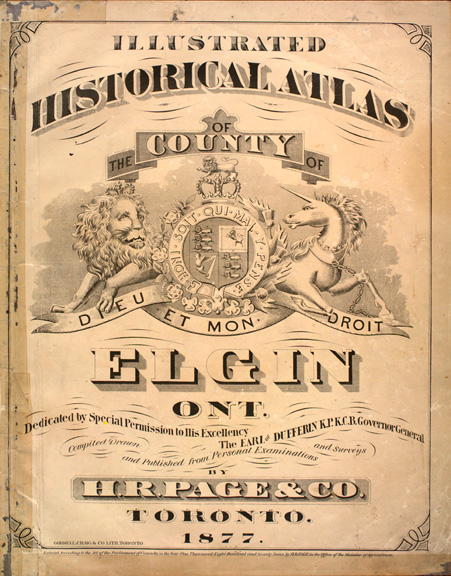 |
Elgin County (Ontario Map Ref #4) Illustrated historical atlas of the county of Elgin, Ont. Toronto : H. R. Page & Co., 1877. McGill University, Rare Books Division, elf G1148 E4H7 1877 |
 |
Essex County (Ontario Map Ref #1) Essex supplement in Illustrated atlas of the Dominion of Canada. Toronto : H. Belden & Co., 1881. |
 |
Frontenac, Lennox and Addington Counties (Ontario Map Ref #31 and #30) Illustrated historical atlas of the counties of Frontenac, Lennox and Addington, Ontario. Toronto : J.H. Meacham & Co., 1878. McGill University, Rare Books Division, elf G1148.F7J3 1878 |
 |
Grey County (Ontario Map Ref #17) Grey supplement in Illustrated atlas of the Dominion of Canada. Toronto : H. Belden & Co., 1880. McGill University, Rare Books Division, elf G1148 G7 H3 1880 |
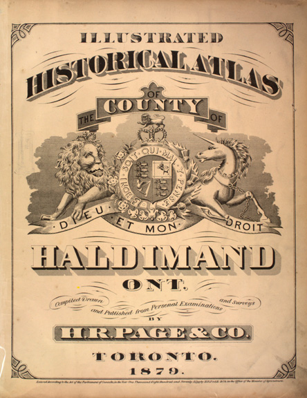 |
Haldimand County (Ontario Map Ref #7) Illustrated historical atlas of the county of Haldimand, Ont. Toronto : H. R. Page & Co., 1879. McGill University, Rare Books Division, elf G1148 H24H7 1879 |
 |
Halton County (Ontario Map Ref #19) Pope, J. H. (John Henry), 1824-1889. Illustrated historical atlas of the county of Halton, Ont. Toronto : Walker & Miles, 1877. McGill University, Rare Books Division, elf G1148 H3P6 1877 |
 |
Hastings and Prince Edward Counties (Ontario Map Ref #28 and #29) Illustrated historical atlas of the counties of Hastings and Prince Edward, Ont. Toronto : H. Belden & Co., 1878. McGill University, Rare Books Division, elf G1148.H5H3 1878 |
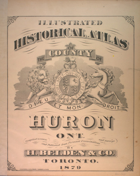 |
Huron County (Ontario Map Ref #15) Illustrated historical atlas of the county of Huron, Ont. Toronto : H. Belden & Co., 1879. McGill University, Rare Books Division, Elf G1148 H8 H3 1879 |
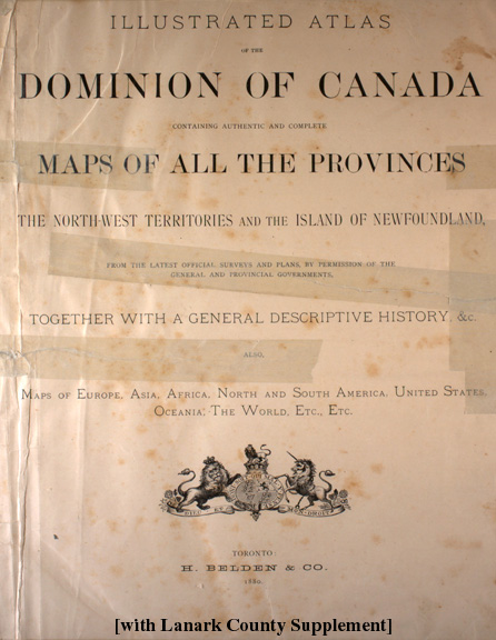 |
Lanark County (Ontario Map Ref #40) Lanark Supplement in Illustrated atlas of the Dominion of Canada. Toronto : H. Belden & Co., 1880. McGill University, Rare Books Division, elf G1148.L3H3 1880 |
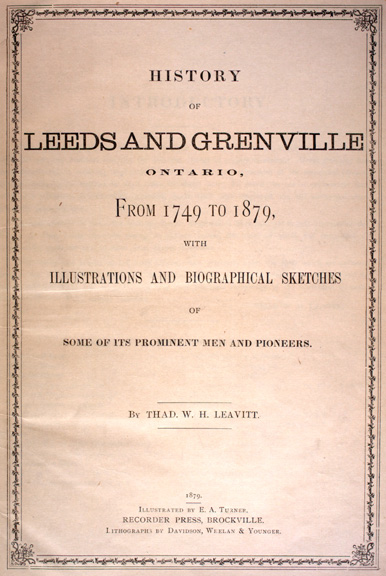 |
Leeds and Grenville Counties (Ontario Map Ref #32 and #33) Leavitt, Thadeus W. H. History of Leeds and Grenville, Ontario. Brockville : Recorder Press,1879. McGill University, Rare Books Division |
|
Canadian Illustrated News. McGill University, Rare Books Division, elf AP5 C267 |
|
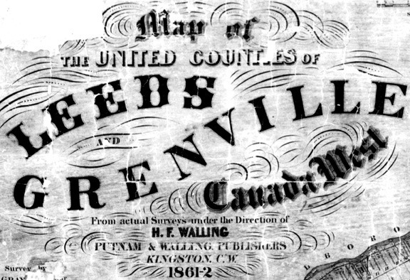 |
Walling, Henry F. Map of the Counties of Leeds and Grenville.
1861-62. National Archives of Canada, NMC 0011856 |
|
Counties of Leeds and Grenville. - Scale 1:126,720. - [Toronto : Miles & Co., 1879]. 1861-62. 1 map ; 80 x 52 cm. McGill University, Rare Books Division, G3463.L4 1879 M5 MAP |
|
|
Hastings and Prince Edward Counties (Ontario Map Ref #28 and #29) Illustrated historical atlas of the counties of Hastings and Prince Edward, Ont. Toronto : H. Belden & Co., 1878. McGill University, Rare Books Division, elf G1148.H5H3 1878 |
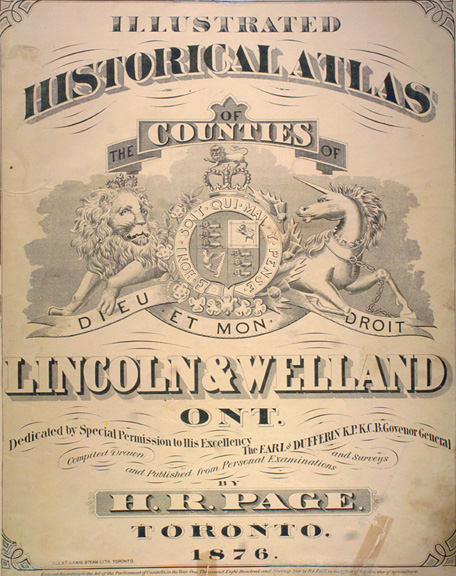 |
Lincoln and Welland Counties (Ontario Map Ref #9 and #8) Illustrated historical atlas of the counties of Lincoln and Welland, Ont. Toronto : H.R. Page & Co., 1876. McGill University, Rare Books Division, Elf G1148 L6 H3 1984 |
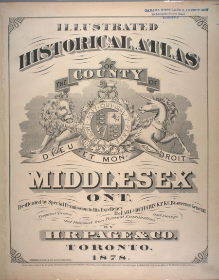 |
Middlesex County (Ontario Map Ref #5) Illustrated historical atlas of the county of Middlesex, Ont. Toronto : H.R. Page & Co., 1878. McGill University, Rare Books Division, Elf G1148 M5 H3 1878 |
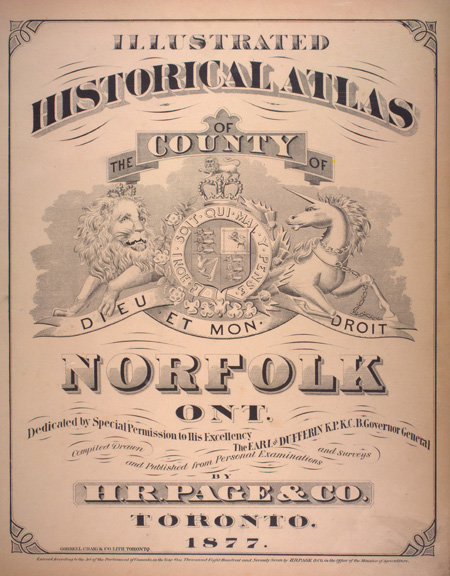 |
Norfolk County (Ontario Map Ref #6) Illustrated historical atlas of the county of Norfolk, Ont. Toronto : H.R. Page & Co., 1877. McGill University, Rare Books Division, Elf G1148 M5 H3 1878 |
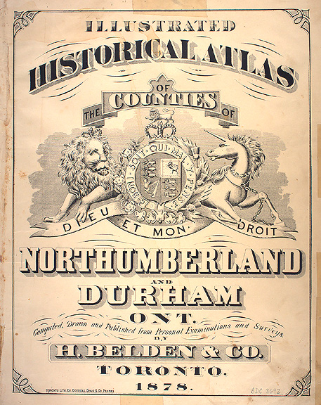 |
Northumberland and Durham Counties (Ontario Map Ref #27 and #25) Illustrated historical atlas of the counties of Northumberland and Durham, Ont. Toronto : H. Belden & Co., 1878. McGill University, Rare Books Division, Elf G1148 N5 H7 1877 |
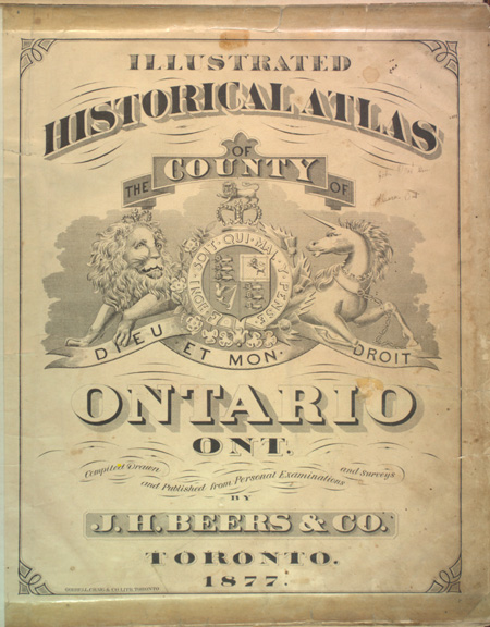 |
Ontario County (Ontario Map Ref #23) Illustrated historical atlas of the county of Ontario, Ont. Toronto : J.H. Beers & Co., 1877. McGill University, Rare Books Division, Elf G1148 O57 J3 1877 |
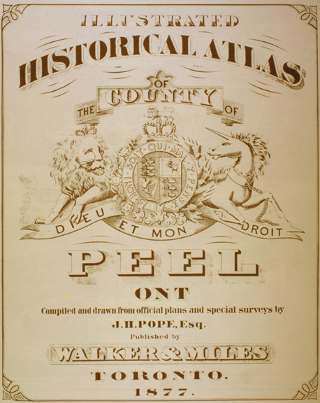 |
Peel County (Ontario Map Ref #20) Illustrated historical atlas of the county of Peel, Ont. Toronto : Walker & Miles, 1877. McGill University, Geography Department, Geo G1148 P3 P6 1971 |
 |
Perth County (Ontario Map Ref #14) Illustrated historical atlas of the county of Perth, Ont. Toronto : H. Belden & Co., 1879. McGill University, Rare Books Division, Elf G1148 P4 H3 1879 |
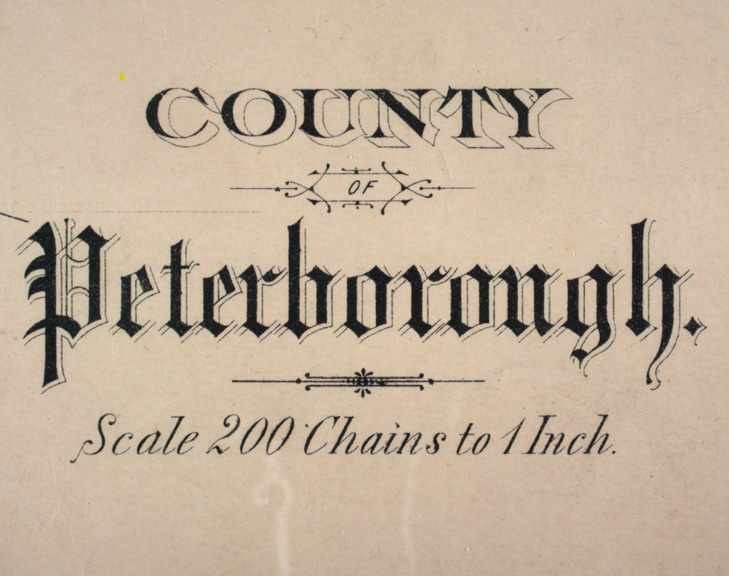 |
Peterborough County (Ontario Map Ref #26) County of Peterborough. - Scale ca. 1:158 400. - Toronto : Miles & Co., 1879. 1 map ; col. ; 51 x 41 cm. McGill University, Rare Books Division, G3463.P4 1879 M5 MAP County of Peterborough directory for 1870-71 / published and compiled by J. C. Connor. Toronto : Hunter, Rose & Co., 1869. |
 |
Prescott and Russell Counties (Ontario Map Ref #37 and #38) Prescott and Russell supplement in Illustrated atlas of the Dominion of Canada. Toronto : H. Belden & Co., 1881. National Archives of Canada |
|
#8a. Renfrew Supplement in Illustrated atlas of the Dominion of Canada. Toronto : H. Belden & Co., 1881. [No maps in original atlas.] National Archives of Canada |
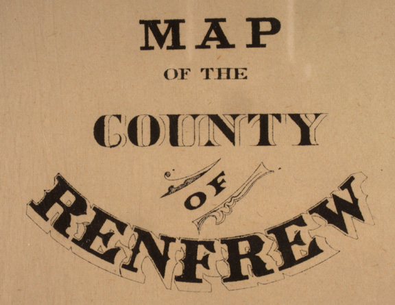 |
#8b. Map of the county of Renfrew. - Scale 1:158,400. - [Toronto : Miles & Co., 1879]. 1 map ; 47 x 43 cm. McGill University, Rare Books Division, G3463.R4 1879 M5 MAP |
 |
Simcoe County (Ontario Map Ref #21) Simcoe supplement in Illustrated atlas of the Dominion of Canada. Toronto : H. Belden, 1881. McGill University, Rare Books Division, elf G1148 S5 H3 1881 |
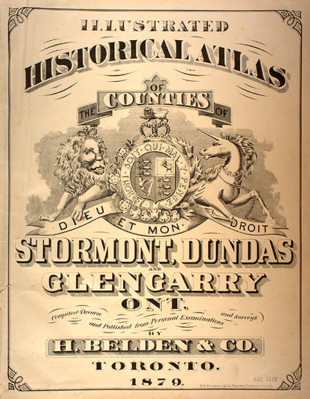 |
Stormont, Dundas and Glengarry Counties (Ontario Map Ref #35, #34 and #36) Illustrated historical atlas of the counties of Stormont, Dundas and Glengarry, Ont. Toronto: Belden & Co., 1879. McGill University, Rare Books Division, elf G1148.S8H3 1879 |
 |
Victoria County (Ontario Map Ref #24) Victoria Supplement in Illustrated atlas of the Dominion of Canada. Toronto : H. Belden & Co., 1881. McGill University, Rare Books Division, elf G1148.V5H3 1881 |
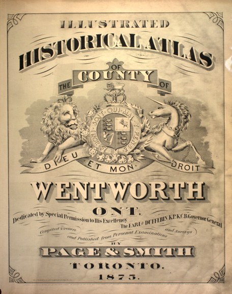 |
Wentworth County (Ontario Map Ref #10) Illustrated historical atlas of the county of Wentworth, Ont. Toronto : Page & Smith, 1875. McGill University, Rare Books Division, elf G1148 W6P3 1875 |
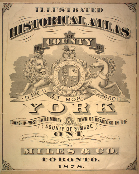 |
York County (Ontario Map Ref #22) Illustrated historical atlas of the county of York and the township of West Gwillimbury & town of Bradford in the county of Simcoe, Ont. Toronto : Miles & Co., 1878. McGill University, Rare Books Division, elf G1148 Y6M5 1878 |
|
|
| Copyright © McGill University, 2001 | |||